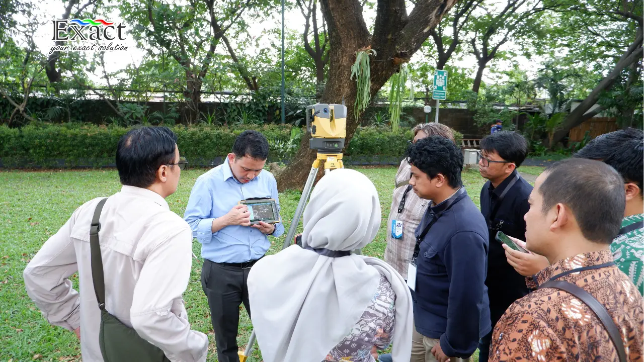
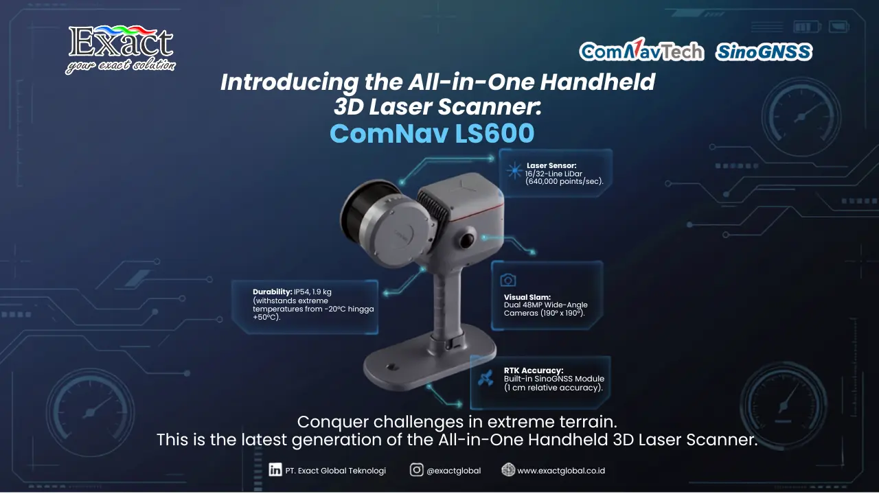
Discover “Plug-and-Walk”: Cut Survey Time by Up to 10× Without Complex Setup
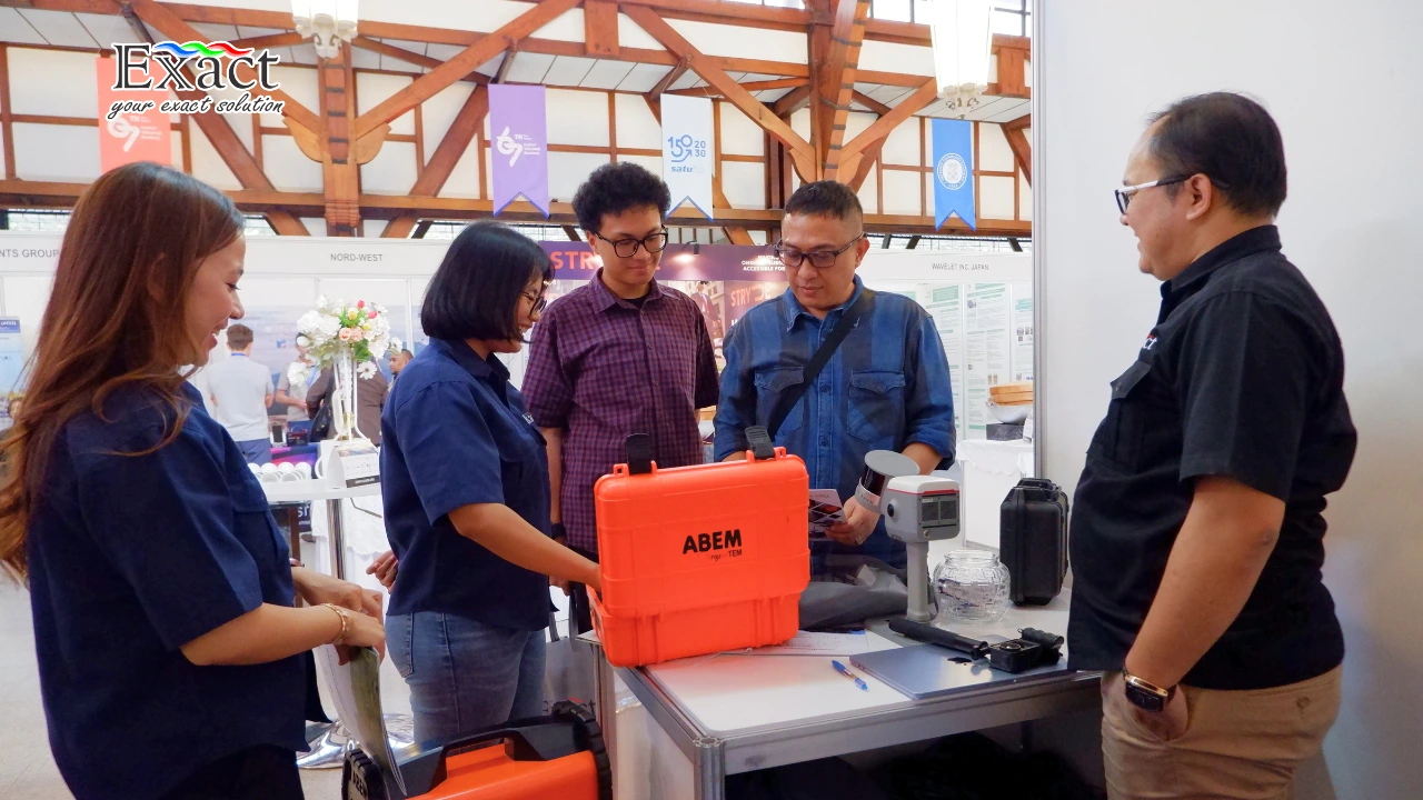
Transform your mineral exploration with the ABEM GroundTEM Trek, distributed by PT. Exact Global Teknologi. This cable-free "Walking TEM" dual-backpack system eliminates heavy line-cutting and…